
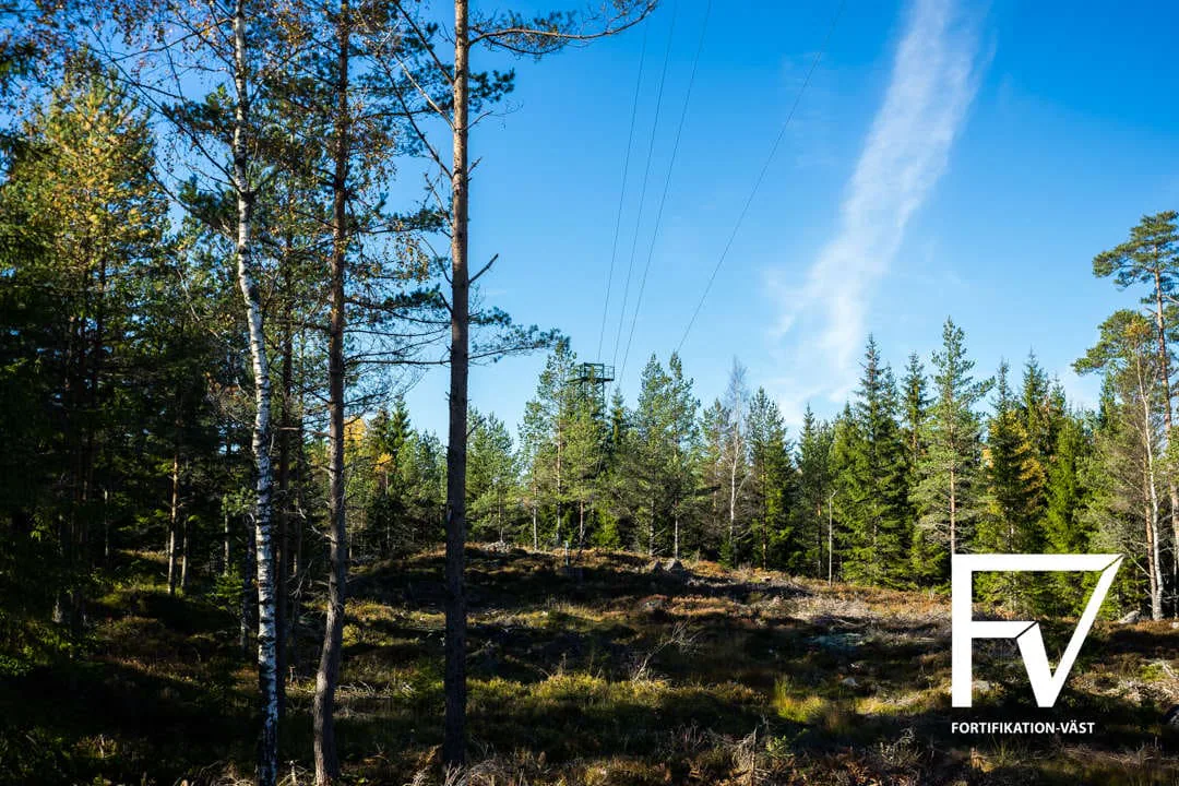
The article describes unprotected remote deployment/training sites for mobile PS-860 radar systems and contrasts them with delayed fortified sites. The displayed anonymous site lies several kilometres from a paved road at 240 m above sea level. A full radar deployment could comprise the radar system, operator huts and a telecom hut (RRGC/T). Roads, power and communications were provided; some western sites were adaptable for PS-870 at small marginal cost. No pad dimensions, building areas, mast/radar geometry, site count, equipment quantity or construction cost is given. The operational purpose of western sites is contested by named sources.
← Back to archiveOriginal article · evidence audit and photographic archive
Norrlandsanläggningar
Strilradaranläggning 860
The complete photographic sequence is presented in its original article context, alongside the facility dossiers drawn from the same source.
Militärt · 8 April 2016 · 12 photographs
Original-article audit
What this source can support
Reviewed 15 August 2026 · geometry completeness 10/100 · high on morphology; low on cost
status: no linked facility model | assessment: No facility model exists. Any future estimate should use an unprotected remote radar-site morphology, not a rock-cavern or protected-building archetype, and should keep sensor/telecom equipment separate from site civils.
inner_structure: Unprotected surface grouping place using mobile radar/operator/telecom huts; not a bunker. | other: Displayed site elevation: 240 m above sea level.; Several kilometres to the nearest paved road.; Three operating configurations: radar only; radar plus operator huts; radar plus operator huts and RRGC/T telecom hut.; Program ambition was delivery of two fortified sites per year, not an actual facility count.
Mobile PS-860 radar system.; Operator huts and RRGC/T telecom hut in fuller configurations.; Road, electrical power and communications connections.; Transport/redeployment support and possible PS-870 compatibility.; Mission equipment dominates; physical protection is explicitly absent at N-sites.
Radar and telecom mission equipment.; Remote access road, power and communications.; Prepared pads/foundations and grounding.; Mobile huts and deployment logistics.; Weather/environmental hardening rather than blast-protected civil works.
The article mixes the displayed anonymous site, the N-site type, the fortified-site delivery program and proposed western deployments. No actual total number is established.
Indeterminate
Defined equipment/operating configuration.; Pad, foundation, mast/radar and hut dimensions.; Access-road length/standard.; Power demand, connection length and standby-power scope.; Communications route and equipment inventory.; Actual site count and program boundary.
The type name is geographically misleading; the displayed facility is not in Norrland.; Named sources disagree over whether western unprotected sites were actually built for cruise-missile detection.; Two fortified deliveries per year was an intention undermined by delays, not evidence of completed quantity.; Radar cross-section and aircraft radar ranges in the article are mission context, not facility geometry.
Source photography
Photographs from Norrlandsanläggningar
12 photographs sourced from the original article, with captions where available.
We do not claim ownership of source photographs.